#

#
By WARC
May 11, 2024
Utilizing AISITS Workshop to Support Maritime Safety and Fisheries Resource Management
Utilizing AISITS Workshop to Support Maritime Safety and Fisheries Resource Management
Warmadewa University, through its Study Centers under the Directorate of Research and Community Service (DPPM), organized a workshop on the utilization of AISITS (Automatic Identification System ITS) to support maritime safety and fisheries resource management.
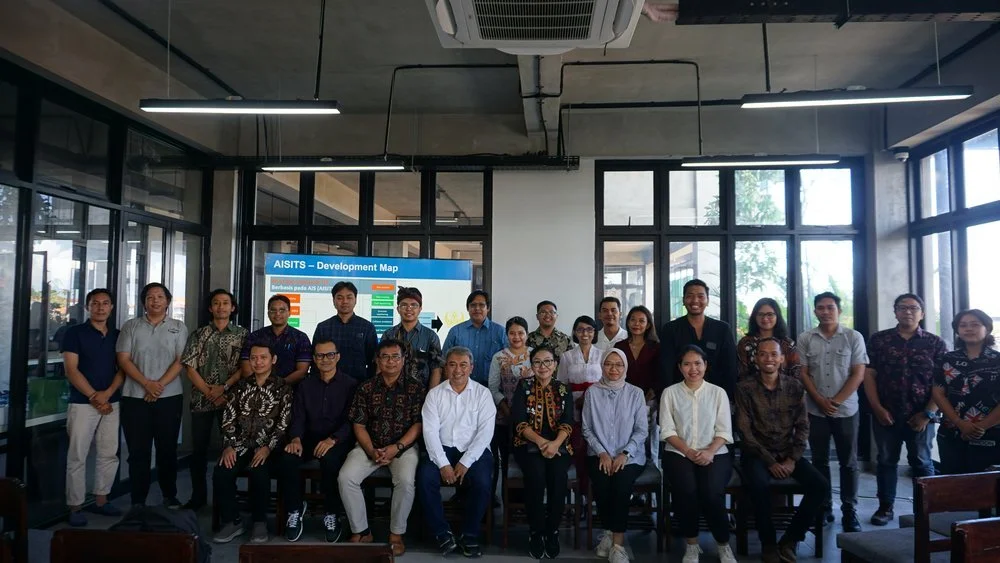
Following the receipt of AISITS research equipment grant from the Institut Teknologi Sepuluh November (ITS), on Tuesday (05/07/2024), the Directorate of Research and Community Service of Warmadewa University held a workshop on the utilization of AISITS to support maritime safety and fisheries resource management to socialize its utilization methods in order to produce beneficial research outcomes.
The workshop, held on Wednesday, 05/08/2024, aimed to socialize the utilization of AISITS in generating big data-based research to help address existing issues in the community within the maritime sector. The event took place in Studio 3 Architecture, FTP Building Unwar, featuring speakers from ITS: Prof. Dr. Ketut Buda Artana, ST, MSc (Head of PUI Ship Safety and Offshore Installations ITS), Dr. Eng. Ir. Dhimas Widhi Handani, ST, MSc (Head of PUI Ship Safety and Offshore Installations ITS), and Gede Bagus Dwi Suasti A., M.MT. (AISITS research team).
Dr. Partiwi Dwi Astuti, SE., M.Si., Ak., CA., Director of DPPM Unwar, stated that the Automatic Identification System (AIS) is useful in reducing the risk of accidents between ships or between ships and offshore structures. Furthermore, research in the tourism industry also presents opportunities for development, especially in the context of passenger safety between Bali and the islands of Nusa Penida, Lembongan, and Ceningan. "Yesterday, we installed signal catchers, transmitters, and also program installations. Today, we are holding a workshop on the Utilization of AISITS to Support Maritime Safety and Fisheries Resource Management," she said.
Meanwhile, one of the speakers, Prof. Ketut Buda Artana, explained that this tool serves as a basis for monitoring ship fuel consumption and generating ship movement data. Additionally, the tool can calculate the amount of carbon emissions and fuel consumption that will affect environmental sustainability, especially marine ecosystems.
"The data obtained will be combined with environmental data so that this carbon distribution map can be created. With maritime traffic, we can determine what impacts Sanur, Benoa, and Nusa Dua may face," he explained.
By utilizing this tool, Prof. Buda stated that Unwar can contribute to the government by digitally mapping protected coral reef areas in Nusa Penida.
"So that if a ship enters before dropping anchor, we can detect it earlier," he added.
